Sepulveda Dam
17 mi southeast · US Army Corps of Engineers
The Sepulveda Dam's recreation facilities are managed by the City of Los Angeles Parks.
Outdoors
Refuges, lakes and wild areas near Simi Valley for wildlife viewing and birdwatching.
Good to know: Early mornings and evenings are best for wildlife; bring binoculars and keep a respectful distance.
17 mi southeast · US Army Corps of Engineers
The Sepulveda Dam's recreation facilities are managed by the City of Los Angeles Parks.
20 mi east · US Army Corps of Engineers
The City of Los Angeles manages the extensive day-use facilities, including golf and riding stables, are available at this site in the San Fernando Valley.
26 mi north · USDA Forest Service
Los Alamos Campground is located 90 minutes from Los Angeles, offering a restful experience without the lengthy travel time.
Map of 20 places loads as you scroll.
The Sepulveda Dam's recreation facilities are managed by the City of Los Angeles Parks.
The City of Los Angeles manages the extensive day-use facilities, including golf and riding stables, are available at this site in the San Fernando Valley.
Los Alamos Campground is located 90 minutes from Los Angeles, offering a restful experience without the lengthy travel time.
Lightning Point Campground sits at an elevation of 6,100 feet, about 25 miles southeast of Palmdale and roughly 35 miles north of the San Fernando Valley.
Once visitors have scaled the rugged cliffs using the stairwell from the Landing Cove, they will be rewarded with a campground perched on the bluffs with magnificent coastal views.
Meadow Group Campground is located off State Highway 2 between the Manzanita Loop of the Chilao Campground and the Chilao Ranger Station, 26 miles north of the 210 Freeway in La Canada, California.
This project is managed by Los Angeles County Parks and the City of Pico Rivera. Whittier Narrows has no permanent pool.
Facilities at Santa Fe are operated by Los Angeles County Parks. Swimming, fishing, non-power boating, hiking and picnicking are available. Of interest are the five distinct biological communities within the area.
Managed by Orange County, CA, there are facilities fishing, picnics, nature exhibits, handball and field sports. No permanent pool.
Managed by Orange County, there is no permanent pool, but varied facilities such as fishing, picnic areas, a nature trail, and tennis. The site of the historic oil boom town of Olinda. Adjoins Chino Hills State Park.
This San Bernardino County Parks managed area is an oasis within one of the fastest growing areas of Southern California. Riverside County and the City of Corona also provide recreation facilities.
Channel Islands National Park encompasses five remarkable islands and their ocean environment, preserving and protecting a wealth of natural and cultural resources.
The waters that swirl around the five islands within Channel Islands National Marine Sanctuary create a special place for several species of plants and animals.
The Traver Ranch was established in the 1940's when the family purchased approximately 800 acres and began building the large block house that still stands along the edge of Soda Lake Road.
Cachuma Reservoir, formed by Bradbury Dam , offers a prime recreational opportunity for the south central coast area of California.
Temblor Recreation Area was newly designated in the Bakersfield RMP (December 2014) and provides opportunities for OHV riding on a network of over 200 miles of designated routes, recreational shooting, hunting, and other dispersed forms of…
The Van Matre family owned several farm properties throughout the plain. This property, known to them as "The Camp" was orginally homesteaded by Jerry Hagerty in 1930.
All vehicles including UTVs on the monument must be street-legal (DMV plated) and all vehicles must stay on roads. REMINDER: Please follow warning signs and respect private property when visiting your public lands.
The Jawbone Canyon Off-Highway Vehicle Area provides a wide variety of riding opportunities including cross country play, trail riding, and advanced technical hill climbing opportunities.
Distances are straight-line miles from downtown Simi Valley. Listings come from Recreation.gov’s federal recreation database; check each official page for hours, fees, fire restrictions and closures before you go.
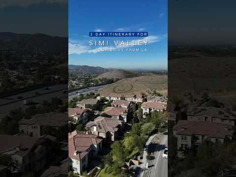
THINGS TO DO · YOUTUBE SHORT
A local activity Short shared by Teresa in California.
Watch on YouTube ↗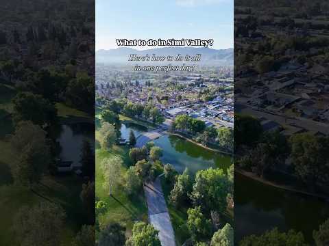
THINGS TO DO · YOUTUBE SHORT
A local activity Short shared by Lian Turnbough.
Watch on YouTube ↗


Sepulveda Dam (US Army Corps of Engineers), about 17 miles southeast of Simi Valley as the crow flies. Next are Hansen Dam (20 mi) and Pyramid Lake - Los Alamos Campground (26 mi).
Federal agencies including US Army Corps of Engineers, Bureau of Land Management, USDA Forest Service. Each listing links to its official page for hours, fees, closures and current conditions.